
The MapBiomas Venezuela Collections. are historical series of annual maps that cover a certain period of time, and that expand across the entire Venezuelan territory, including the state of Guayana Esequiba declared in April 2024Only Isla de Aves is excluded. MapBiomas Venezuela Collection 3 of annual land cover and land use maps corresponds to the period 1985-2024.
These maps are updated regularly to include information from recent years, as well as incorporate improvements in the classifications. The goal is for a new collection to be published every year.
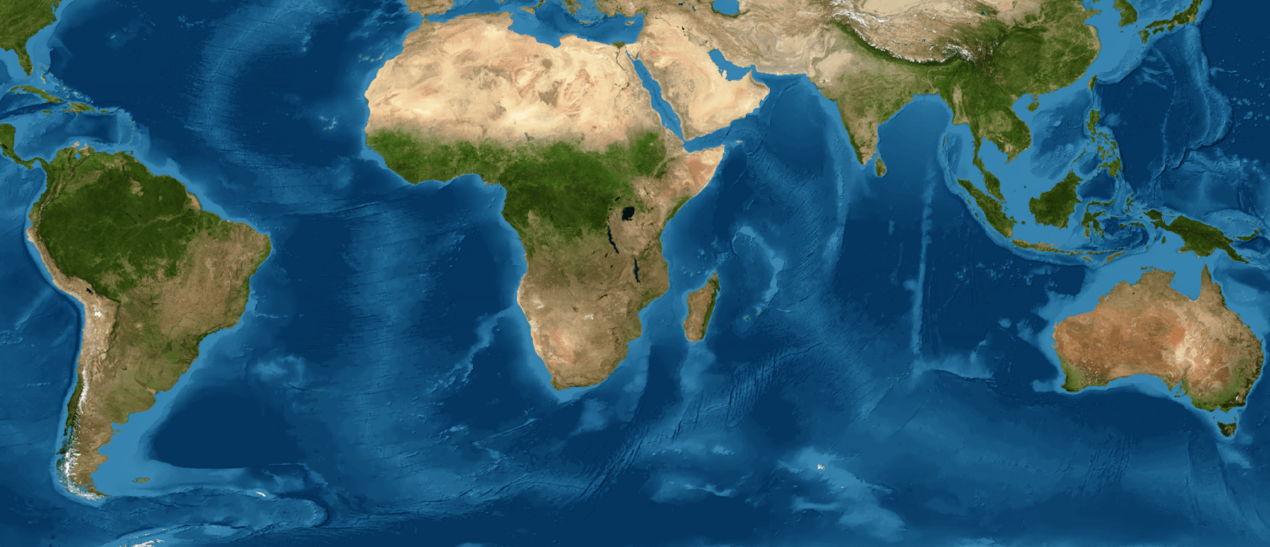
LAND COVER AND LAND USE MAPS
The most recent collection of land cover and land use maps of MapBiomas Venezuela can be explored and queried directly on the MapBiomas maps and data platform (https://plataforma.venezuela.mapbiomas.org). To do so, navigate through the menu options: Maps and Data > Access the platform.
Download
The MapBiomas Venezuela platform allows you to select or crop the annual land cover and land use map (Collection 3) according to specific administrative or natural areas.
1. Descarga directa de un mapa anual.
Ejecutar la Descarga
- Locate the Download Option: Go to the general "Downloads" section or look for a specific download button labeled 'Downloads'
- Confirm the Parameters: he platform will ask you to confirm that you wish to download the map from Collection 3 for the selected Year seleccionado y para el Territorial Boundary you just defined
- Start the Download: Upon confirmation, the system will generate and provide you with a link to download the file. This is usually a file in GeoTIFFeady to be used in software Geographic Information System (GIS) software
Consulte las instrucciones sobre cómo descargar los mapas and estadísticas a través de la plataforma.
2. Paleta de colores.
The RGB color palette for each legend class is available in the file MB Venezuela Col 3 Legend Code3.
The colormap file (.clr), with the color palette for ArcMap or ArcGIS Pro is available in the file Leyenda MapBiomas Venezuela col 3 ArcGIS.
The .qml file, with the color palette for QGIS is available in the file Leyenda MapBiomas Venezuela col 3 QGIS.
Important:
When using MapBiomas Venezuela data, please consider that:
- To calculate area, it is necessary to use an appropriate metric projection (more information in the FAQ section.
- All data is in GeoTiff format and has LZW compression.
- The annual maps are consolidated into a single file with multiple layers, where each layer represents a year in the historical series (the 1st layer corresponds to the first year in the series, i.e., 1985).
- The international boundaries used by MapBiomas Venezuela are those elaborated by Provita in coordination with Raisg and may differ from files from other national sources.
WATER SURFACE MAPS
The most current MapBiomas Water maps can be accessed in the following ways:
1. By navigating online on the MapBiomas Venezuela map and data platform: Plataforma MapBiomas Agua
2. Using the Toolkit prepared in Google Earth Engine (GEE).