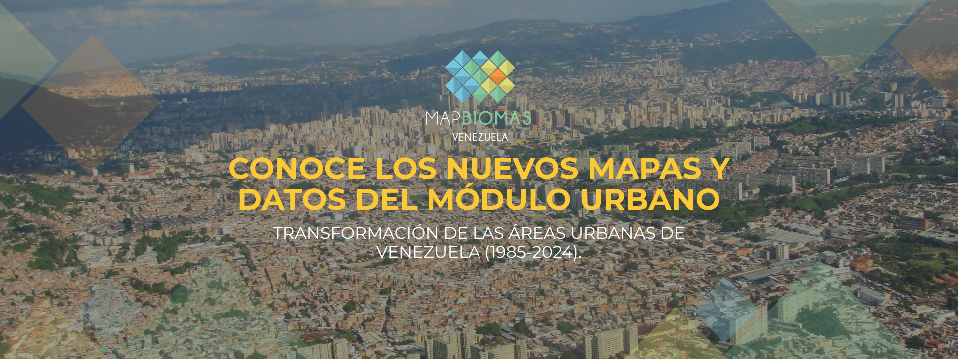

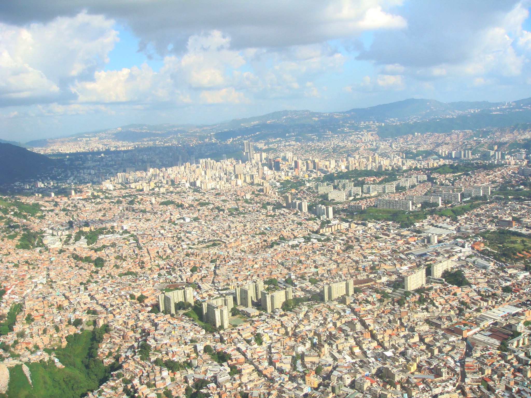
MapBiomas Venezuela unveiled its new urban module, revealing that between 1985 and 2024 Venezuelan cities expanded by 72%, adding nearly 160,000 new hectares of asphalt to the national territory.

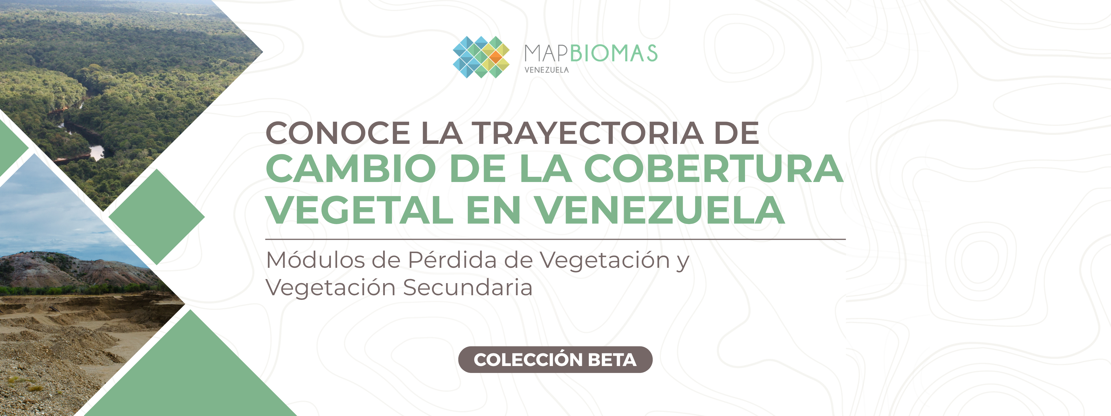
MapBiomas Venezuela comparte nuevas herramientas para fortalecer el monitoreo de los ecosistemas del país, permitiendo cuantificar tanto la pérdida de vegetación natural (bosques, arbustales y herbazales) como la progresión de la vegetación secundaria.
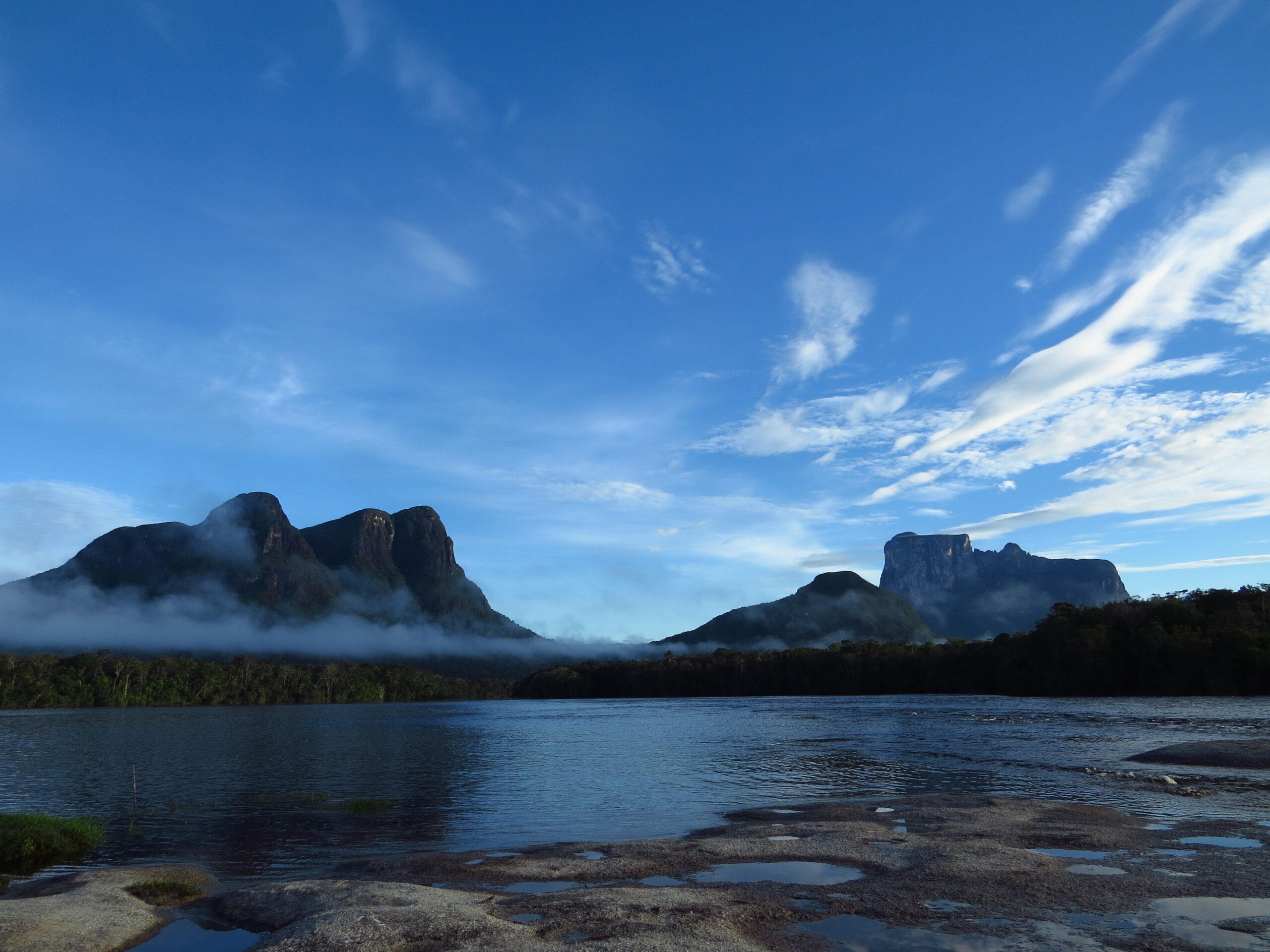
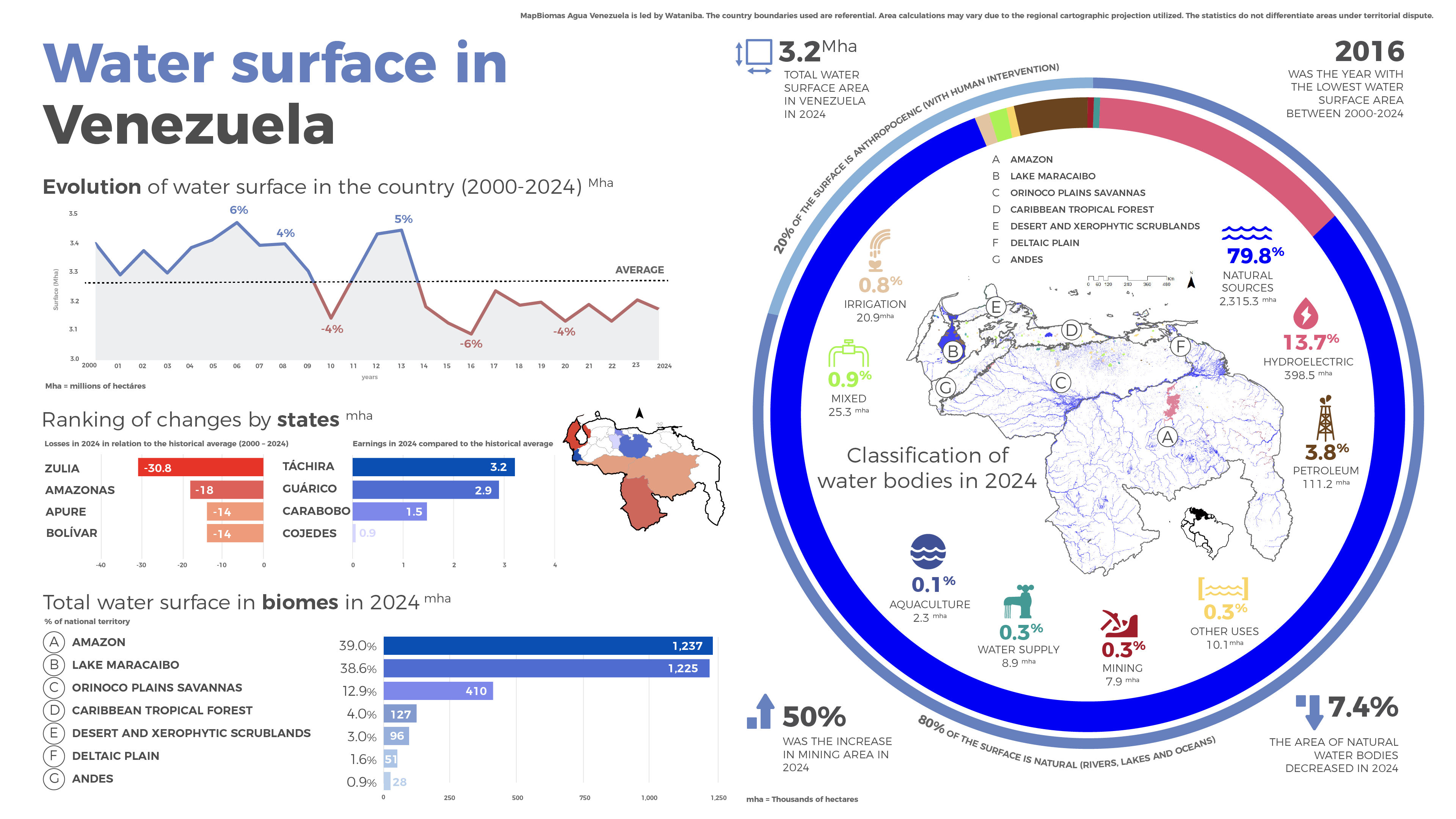
La tercera colección de mapas anuales y mensuales de agua, generada a partir del análisis de imágenes satelitales, ofrece una visión amplia del recurso hídrico en el país y la transformación en los últimos 25 años.
Discover the results of MapBiomas Venezuela Collection 3 and the main changes in land cover and land use between 1985 and 2024 for the entire country.
Explore maps and statistics across a range of territorial units, encompassing states, municipalities, ecoregions, physiographic units, watersheds, indigenous territories, and protected areas.
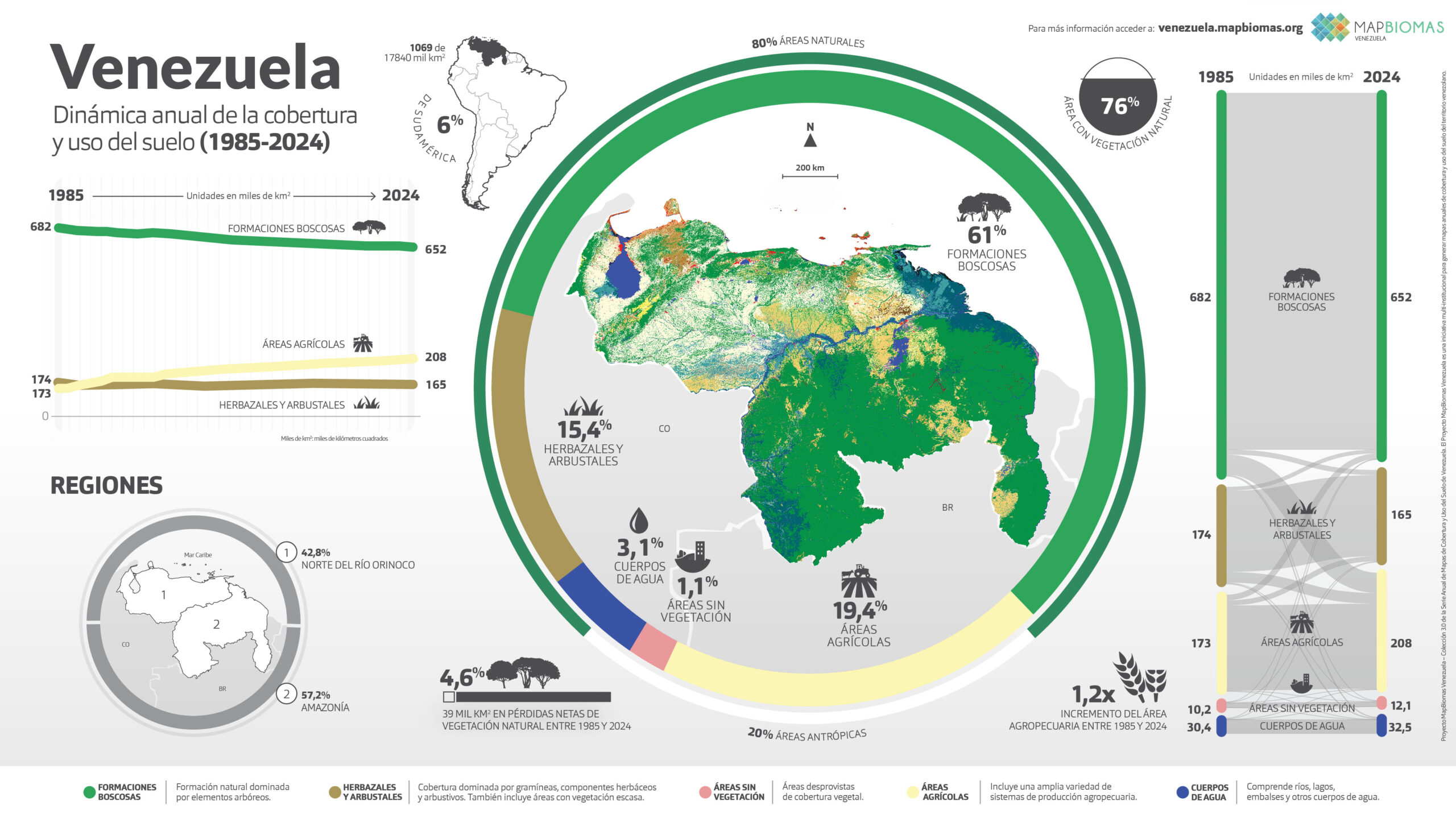
Venezuela
Água
Learn about the MapBiomas Venezuela methodology and how the network is organized to generate land cover and land use maps and data.
Create custom maps
Join our forum
Access our FAQ
Data download