It is estimated that more than 200 people have received online and in-person training.
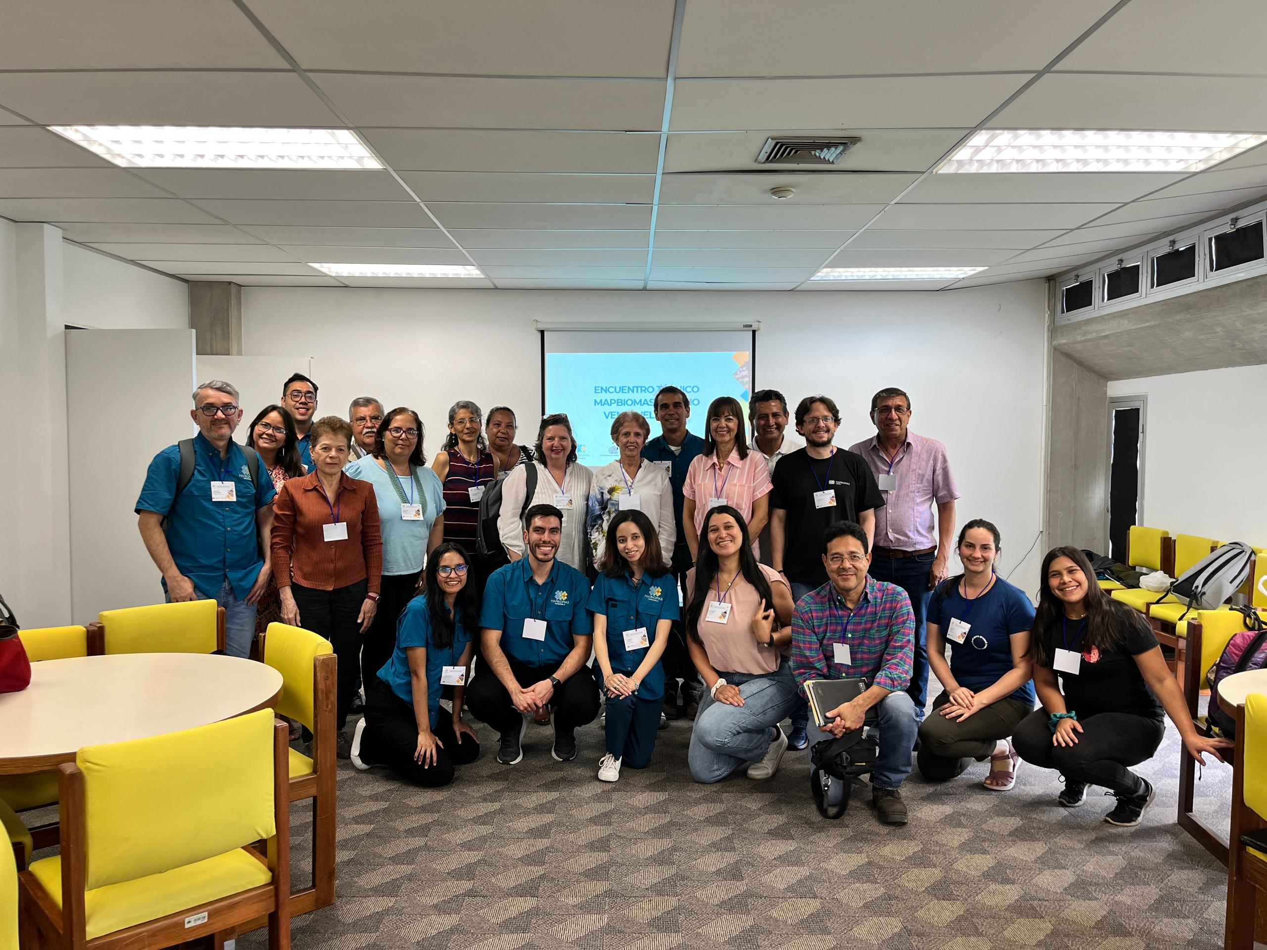
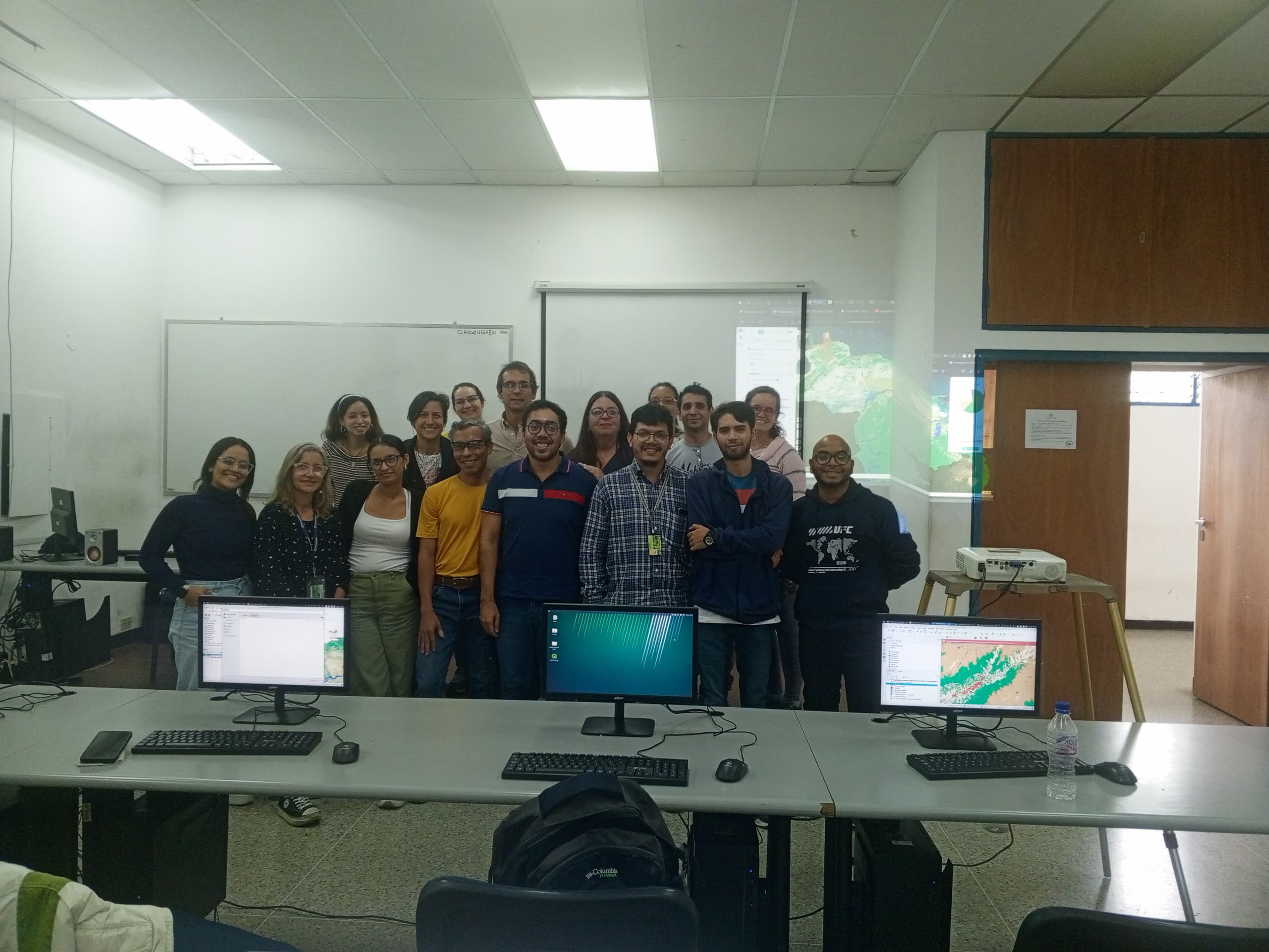
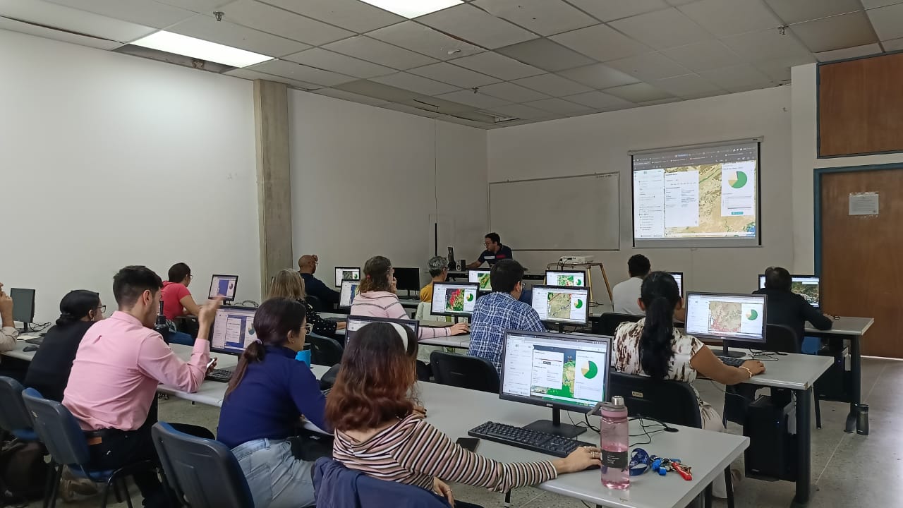
During May, June, and July 2025, the MapBiomas network, comprising Provita, Wataniba, and LSIGMA-USB, organized and conducted training workshops on the use of the MapBiomas Venezuela platform in Maracay, Caracas, and Puerto Ordaz, targeting users interested in mastering the tool for various purposes.
In the workshops, more than 200 people have learned how to use the platform for various purposes. This includes participants ranging from those interested in downloading summary materials from the website to those learning how to perform online queries from scratch, as well as experienced geospatial data users who want to download items for use in a Geographic Information System (GIS).
MapBiomas Venezuela maps provide detailed information on landscape changes over time, which is crucial for understanding and monitoring environmental dynamics and deforestation in critical areas.
Celisbey Pereira, an employee of the Venezuelan Corporation of Guayana (CVG by its acronym in Spanish) and participant, commented that “this MapBiomas workshop we saw today is exciting because we, as a company, have a responsibility to the environment and are interested in the vegetation cover around our operational areas to understand and measure how to reforest and recover areas that are impacted by our activities.”
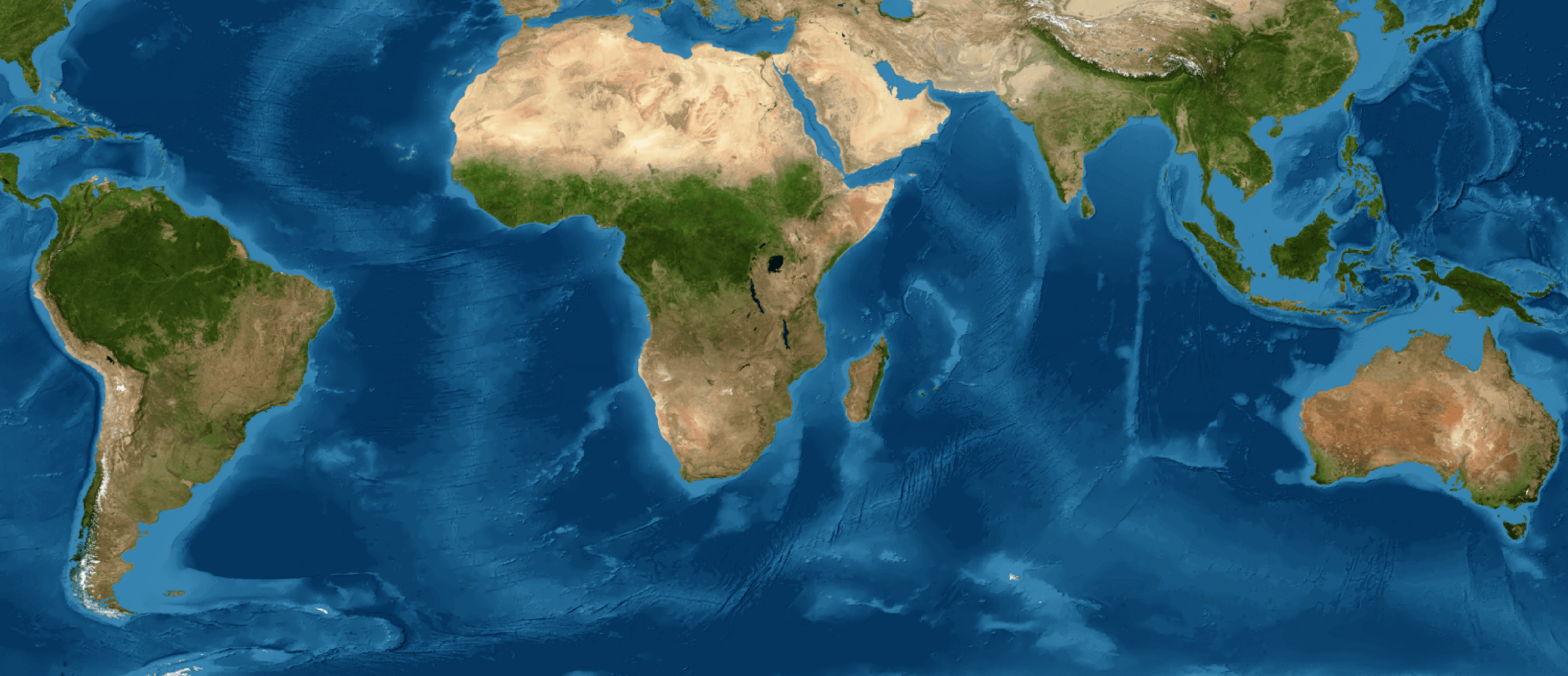
MapBiomas is a collaborative initiative formed by non-governmental organizations, universities, and technology companies. Its main objective is to generate annual maps and data on land cover and land use in different regions, including the Amazon, which are publicly available and free of charge. These workshops also contribute to expanding access, use, and knowledge of the platform and the information it contains.