

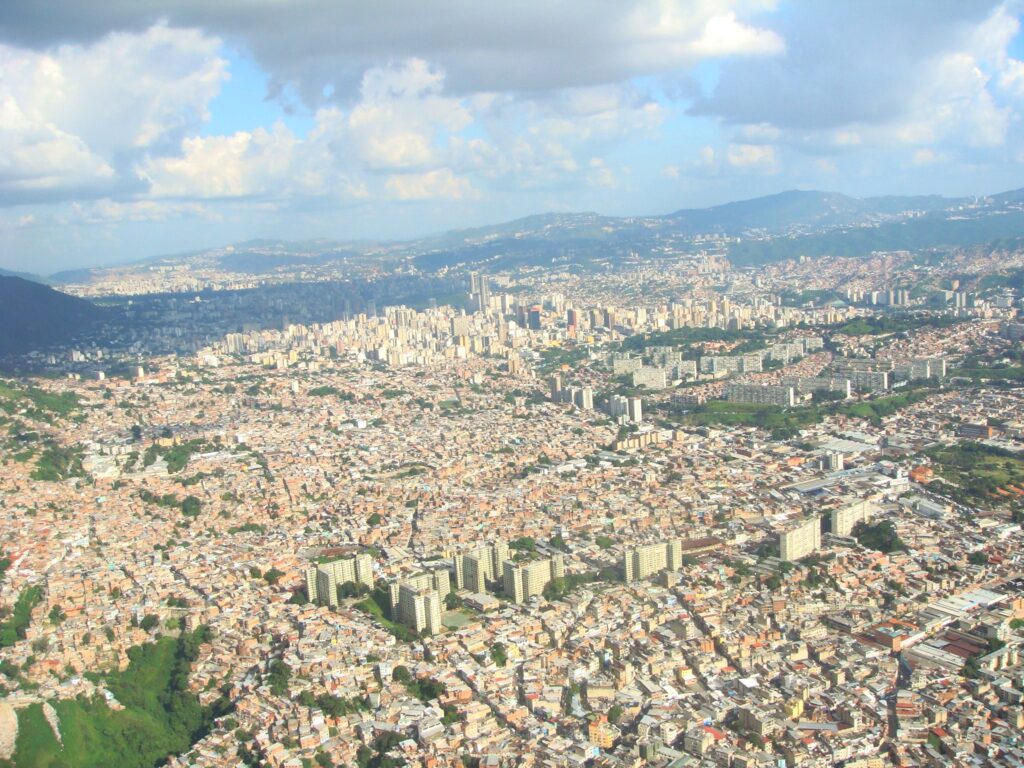
MapBiomas Venezuela unveiled its new urban module, revealing that between 1985 and 2024 Venezuelan cities expanded by 72%, adding nearly 160,000 new hectares of asphalt to the national territory.
MapBiomas Venezuela unveiled its new urban module, revealing that between 1985 and 2024 Venezuelan cities expanded by 72%, adding nearly 160,000 new hectares of asphalt to the national territory.
Caracas, Venezuela – MapBiomas Venezuela officially announced the launch of its new urban module (beta) with a presentation titled "Venezuela Expanding: 40 Years of Urban Growth - Transformation of Venezuela's Urban Areas (1985-2024).”
The event took place at the Experimental Hall of the Chacao Cultural Center, with the support of the Ecology and Sustainable Development Commission of the Chacao Municipal Council. There, the scope of MapBiomas Venezuela's new urban module (beta) was unveiled, an unprecedented technological tool that makes it possible to visualize and analyze the evolution of urban areas across the national territory from 1985 to 2024. This launch marks a milestone in monitoring city growth and human impact on Venezuelan land.
CUTTING-EDGE TECHNOLOGY FOR TERRITORIAL ANALYSIS
This urban module is the result of a collaborative effort led by experts from the Laboratory of Geographic Information Systems and Environmental Modeling at Simon Bolivar University (LSIGMA-USB) and the environmental conservation nonprofit organization Provita.
The methodology implemented relies on large-scale cloud data processing through the Google Earth Engine platform, using advanced algorithms to analyze the historical series of images of Venezuelan territory provided by Landsat satellites at a resolution of 30 meters.
Unlike general mapping, this module makes it possible to detail the internal growth of cities, identifying infrastructure and urban green areas, while also showing how the urban footprint has expanded over natural areas and agricultural lands during the last four decades.
DATA TO RETHINK URBANISM
Carlos Gonzalez, coordinator of LSIGMA-USB and spokesperson for the initiative, highlighted the importance of this tool for the country's future: "Our territory is in constant transformation, and cities are the main driver of that transformation. To make informed decisions, it is necessary to look at the past, understand the present, and try to anticipate the future. MapBiomas Urbano not only tells us where cities are, it also tells us how they grew and what sacrifices had to be made for that growth to happen."
According to Gonzalez, this data makes it possible to identify the pressure on forests and grazing lands, offering a "history of the territory" necessary for responsible public management.
VENEZUELAN URBAN DYNAMICS: BETWEEN CONCRETE AND ASPHALT
During the presentation of the results, it was highlighted that the most common growth pattern in Venezuelan urban expansion is the formation of conurbation axes, in which cities tend to grow until they merge and spill beyond their administrative boundaries; this is also the pattern with the highest annual growth rate: 2.48%.
It was revealed that urban areas now occupy 0.5% of the national territory (382,292 hectares). The greatest urban growth occurred along the Maracay-Valencia and Caracas-Los Teques-Guatire.
As explained by Jorlenys Roldán an urban planner and part of the technical team of MapBiomas Urbano, five states (Bolivar, Zulia, Anzoategui, Miranda, and Carabobo) lead this expansion, each adding more than 10,000 new urban hectares over 40 years.
The panel emphasized that, while municipalities such as Mariño (Nueva Esparta) and Chacao (Miranda) have nearly 70% and 50% of their area urbanized, respectively, more than half of the country's municipalities (187) recorded marginal growth, of less than 250 hectares throughout the entire period.
Experts Analyze the Future of Territorial Management
The event closed with a reflection session moderated by Professor Carlos Urdaneta (USB), in which a multidisciplinary panel analyzed the relevance of these data for public planning.
Los especialistas Loraine Giraud (USB), Karenia Córdova (UCV), Sandra Ornés (USB), Edgard Yerena (USB) and José (Cheo) Carvajal (Ciudad Laboratorio) agreed that this tool is vital for "rethinking" urbanism. During the debate, they emphasized that disorderly growth has historically put pressure on natural areas and agricultural lands, and that these new data make it possible, for the first time, to design sustainable management policies based on precise historical evidence.
Explore the Data in Detail!
We invite you to delve deeper into these findings and discover the reality of your municipality by exploring the full interactive module on our platform. You can also relive all the presentations and the experts' debate through the event's official broadcast.
- MapBiomas Venezuela Platform
- Watch the official broadcast on YouTube @MapBiomasVE