
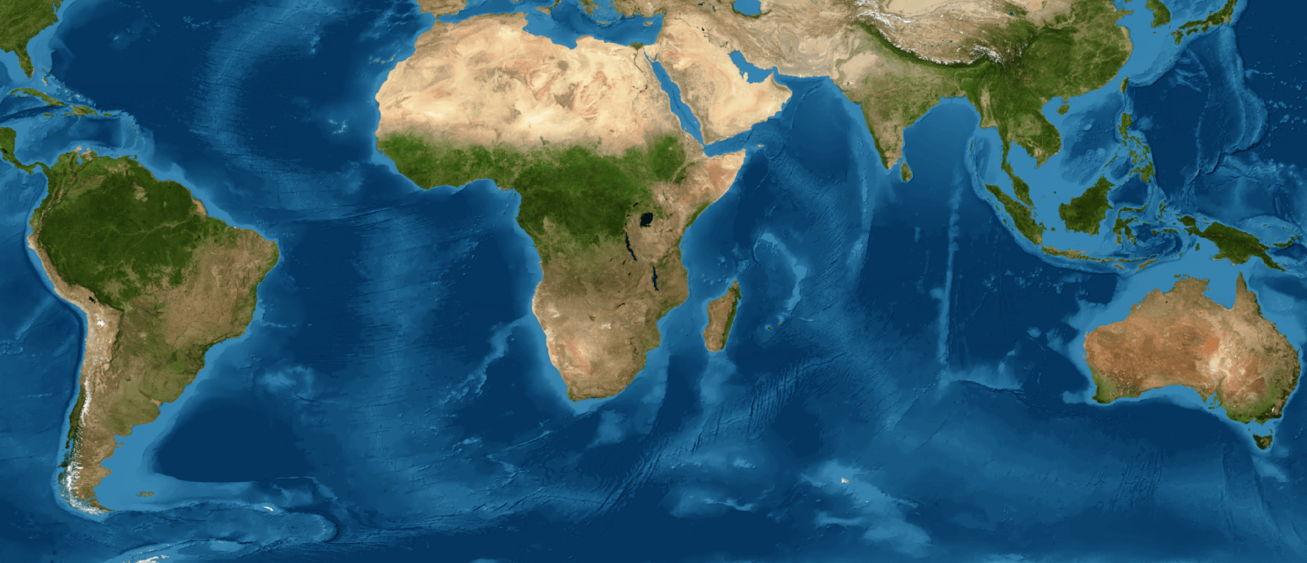
Since 1985, Venezuela's forests have been reduced by approximately 4.4% of the country's land area, with 76% of this loss occurring north of the Orinoco River.
MapBiomas Venezuela's Collection 3 on Land Cover and Land Use presented new data on the current state of the territory and changes over time, since 1985 to 2024. “We are launching forty years of maps on the transformation of the Venezuelan territory, covering 25 classes or types of land cover, including natural cover, such as forests, grasslands, and shrublands, and those human-use covers, such as agricultural, urban, and mining,” said Irene Zager, Research Director at Provita. She highlights the incorporation of two natural land covers that had not been previously mapped (Andean grassland/shrubland and floodable Andean grassland/shrubland). “Their incorporation into this new collection contributes to a better understanding of the dynamics of change in the Venezuelan Andes”, added the director.
A history of transformation, to rethink the future
The data revealed that between 1985 and 2024, Venezuela lost nearly 30,000 km22 of forest formations, equivalent to 4.4% of the territory. “Of this decrease, 76% is concentrated north of the Orinoco River, especially in the Los Llanos region, with 10,518 km²2 (35%); the main cause of transformation is the expansion of agricultural areas,” said Carlos E. González, LSIGMA-USB Coordinator.
Meanwhile, south of the Orinoco River, the changes were smaller. “In the Amazon and Guayana Esequiba regions, we find 78% of all the country's forest formations; here we have transformed some 7,057 km22 of forests, which represents 24% of Venezuela's forest loss,” said Rodrigo Lazo, Technical Coordinator of Land Cover and Use at MapBiomas Venezuela, at Provita.
Anderson Albarran, Coordinator of Socio-Environmental Information Systems at Wataniba, highlighted: "At MapBiomas Venezuela, we work collaboratively, combining various disciplines and from multiple civil society organizations, academic institutions, and public entities, so that this information on Venezuelan territory is available to the public free of charge. We hope that these maps will support research, conservation, and sustainable management of our natural resources, as well as climate change mitigation and adaptation."
MapBiomas Venezuela Annual Seminar
These data were presented during the MapBiomas Venezuela Annual Seminar, held on Thursday, November 6, 2025, in the Dr. Tobías Lasser Auditorium of the Faculty of Sciences at the Central University of Venezuela (UCV).
The event also highlighted the upcoming products to be launched by MapBiomas Venezuela, with MapBiomas Water and MapBiomas Urban.
The event featured a panel of experts with Abigail Castillo (UCV and MINEC), Karenia Córdova (UCV), Luz Delgado (UNEG), Douglas Rodríguez-Olarte (UCLA), and Carlos Urdaneta (USB), who discussed the relevance of MapBiomas Venezuela's data and future analysis priorities.
MapBiomas Venezuela’s Award: A celebration of the use of open data
During the seminar, the first edition of the MapBiomas Venezuela’s Award was also held, organized in partnership with the Institute of Zoology and Tropical Ecology of the UCV, as part of its 60th anniversary celebrations.
For this first edition, several applications were received for the categories: Undergraduate Student and General. Mylene Gutiérrez, member of the Award Organizing Committee and professor at the UCV, highlighted: “This award recognizes innovative projects based on the data made available by our platform. The winning projects addressed highly relevant issues such as the evidence of climate change on agriculture, changes in land cover in protected areas, and deforestation.”
MapBiomas Venezuela
MapBiomas Venezuela is an initiative co-created by Provita, Wataniba, the Laboratory of Geographic Information Systems and Environmental Modeling of the Simón Bolívar University (LSIGMA–USB), and the Amazonian Network of Georeferenced Socio-Environmental Information (RAISG) in collaboration with specialists from various NGOs, universities, and research centers in the country, organized by themes and regions.